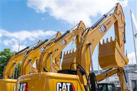
United Rentals has tagged 335,000 units in fleet

06 March 2023
United Rentals has fitted telematics to more than 335,000 pieces of equipment in its rental fleet.
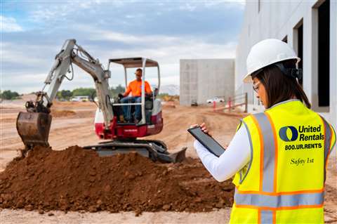 Photo: United Rentals
The company, which rents more than 4,500 classes of equipment, said the technology is part of a long-standing drive to use “data to improve the customer experience” and “enhance the value” that its fleet offers.
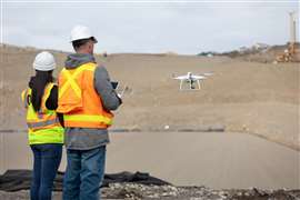
United said telematics allows users to increase productivity and safety on jobsites by improving equipment uptime, optimising equipment utilisation, improving jobsite safety and security and advancing sustainability targets.
To date, the US-based rental firm has added telematics to aerial work platforms, earthmoving equipment, generators, all-electric trucks, compressors, e-dumpsters, light towers as well as a number of other rental units.
Tony Leopold, Senior Vice President, strategy and digital at United Rentals, said, “Businesses face ever-increasing pressure to improve productivity and safety on jobsites. If they don’t have visibility to equipment operating on their sites, they could face cost or schedule overruns, as well as safety risks.
“Telematics technology generates valuable insights for our customers into the condition, utilisation, location and performance of their rented and owned fleets.”
As well as telematics-enabled equipment, United Rentals also provides a cloud-based worksite management tool through its Total Control platform, which allows users of rented or owned equipment to monitor and manage environmental impact of equipment, track engine hours and fleet utilisation.