3DR Site Scan processing now powered by Pix4D
07 August 2017
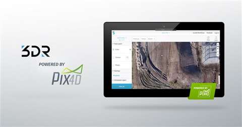
3DR, the maker of Site Scan, a leading drone data platform for engineering and construction applications, announced it has integrated the photogrammetry processing software from Swiss company Pix4D as its core processing software. Pix4D claims this will enable customers to receive processed data three times faster and process up to five times more photos at once, meaning a total of 2500 images can now be processed in one go.
According to Pix4D, the addition of its processing engine to Site Scan will help 3DR customers create even more accurate and detailed results, that can include orthomosaics, digital elevation models, and point clouds.
“With the combination of the Sony R10C camera and our newly improved processing engine, Site Scan can deliver results that consistently rival LiDAR and traditional surveying when it comes to accuracy,” said Chris Anderson, CEO of 3DR. “This marks the next step in drones becoming an essential tool on jobsites across the world.”
“We’re thrilled to work with 3DR,” added Christoph Strecha, co-founder and CEO of Pix4D. “They’re a leader in using drones for reality capture in construction and engineering, and Pix4D’s best-in-class processing will help their customers get the best results possible.”